
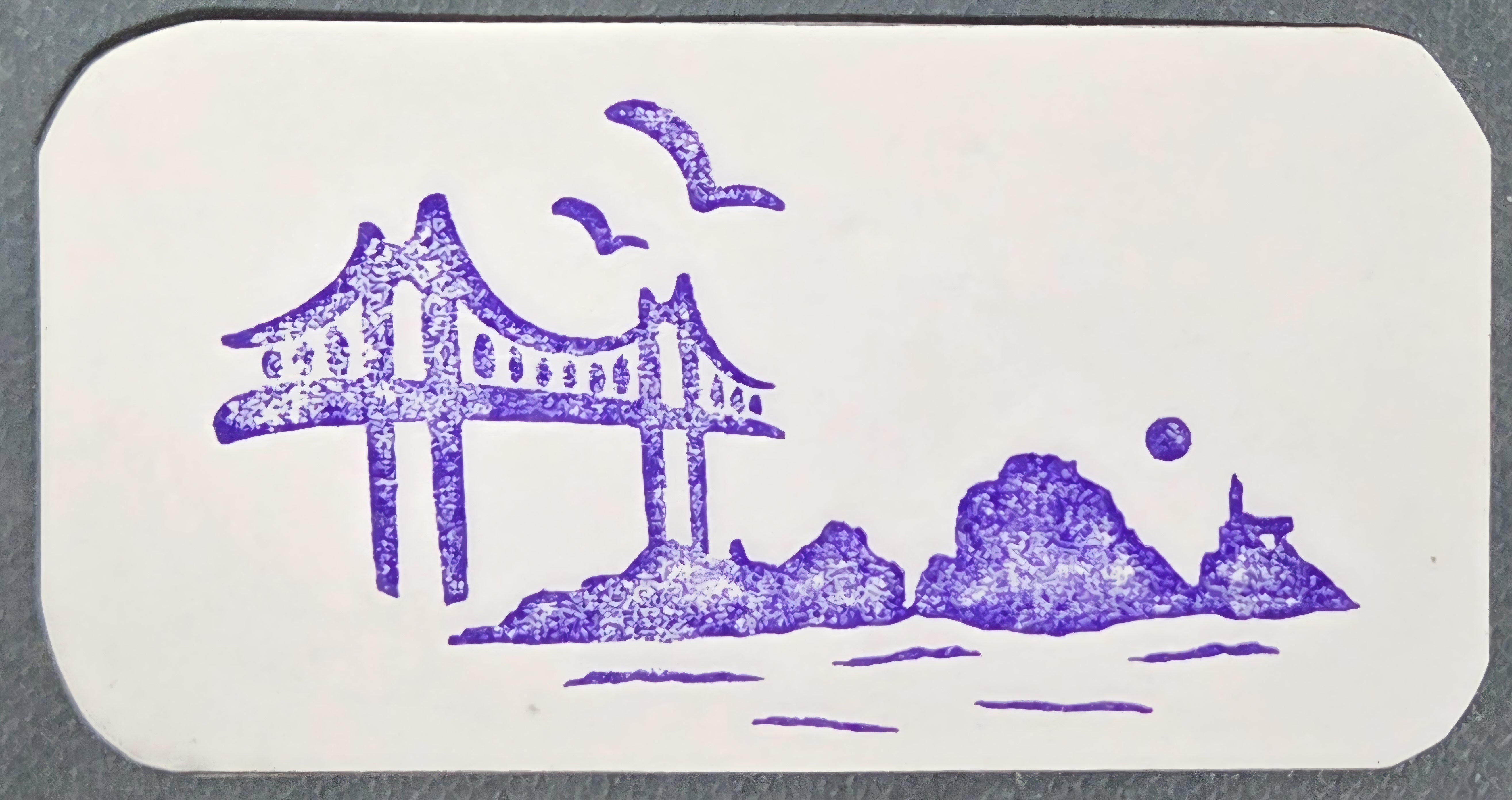

거제도는 한반도에서 제주도에 이어 두번째로 큰 섬이다. 401.59제곱 킬로 미터 해안선의 길이가 386키로 미터로 섬의 최남단에 초고봉인 가라산(580미터) , 계룡산(554미터), 대금산(437미터), 국사봉(400미터) 등의 산이 있다.
거제도는 1971년 4월 8일 육지인 통영시와 거제도를 잇는 거제대교(길이740, 폭 10미터)가 개통되면서 육지로 변했다. 그러나 1971년 준공된 거제대교가 증가된 교통량을 감당하지 못하자 1992년 10월 착공, 6년 6개월 만인 1999년 4월 22일 신거제대교를 개통 하였다. 11년만에 만들어진 2010년 동쪽 가덕도로 통해서 부산으로 이어지는 해저터널과 거가대교 개통으로 거제도의 관문 교량이 3개로 늘어 났다.
거제시에는 10개의 유인도와 52개의 무인도가 있는데 철천도는 2000년 1월 1일 칠천연륙교로 거제와 연결되었고, 가조도는 2009년 7월 13일 가조연륙교로 거제와 연결되었다. 거제도는 해금강과 외도, 지심도, 내도 등 곳곳에 볼거리가 있고 아름다운 섬과 푸른 바다로 이루어진 한려해상국립공원에 속한다.
포로수용소가 있었던 역사적인 섬
거제도는 지리적으로 일본과 매우 가까워서 왜구의 침입이 자주 있었다. 임진왜란이 발발하자 1592년 옥포해전, 한산대첩, 1597년 칠천량해전 등 주요한 해전이 이곳에서 벌어졌고, 이 전쟁 때문에 인근 통영에는 삼도수군통제영이 설치되었다. 뿐만 아니라 조선시대에는 제주고, 진도, 완도, 추자도 등과 함께 유배지가 되어 귀양살이 섬으로 불리었다.
거제도는 1950년 한국전쟁 당시 전쟁 포로들을 수용한 땅이다. 해금강과 외도가 있고 경제 발전의 기적을 낳은 조선소가 있다. 거제도가 포로 수용소로 결정된 이유는 섬이라는 지리적 조건 때문 이었다. 수많은 포로 경비, 급수시설 용이, 포로들에게 먹일 식량 재배 등이 고려되었다.
포로수용소는 거제도 뿐만 아니라 인근의 용추도, 추봉도에도 있었다. 거제도 포로 수용소는 1951년 초에 건설되어 처음에는 6만명 정도를 수용한다는 게획 이었다. 그러나 전쟁이 치열해 지면서 북한의 인민군이 무려 15만명, 중공군 2만명, 여자포로 3천명 등 총 17만 3000명의 포로가 수용 되었다. 여기에 전체인구는포로경비를 위한 인력, 행정요원, 거제시민을 합해서 37만명으로 불어 났다.
1951년 6월 부터 시작된 포로수용소 내의 갈등으로 내부에서 폭력사태가 발생해 수많은 포로들이 사망 하기에 이른다. 1951년 정전협상이 시작되면서 유엔은 " 각 포로들이 출신과 상관없이 원하는 곳에서 살수 있도록 심사하겠다." 고 주장하면서 포로송환 협상이 2년간 교착상태에 빠졌다. 포로송환 문제를 놓고 북한으로 가기를 거부하는 반공포로와 송환을 원하는 친공포로로 갈려 대립하였으며 여기서 반공포로와 친공포로 간의 극한 갈등에 따른 유혈 사태가 일어 났다.
친공포로들은 `해방동맹` 이라는 비밀조직체를 수용소내에 만들고 1951년 9월 17일에는 반공포로를 무려 300명 학살하였다. 이 폭동 사건으로 1952년 5월 친공포로들이 수용소장 프랜시스 도드 준장을 납치하여 가혹행위 재발 방지 각서를 써주고 풀어준 사건도 있었다. 이른바 거제도 포로수용소 사건은 한 달이 지난 6월 10일에야 무력으로 진압되었다. 유엔군 사령부는 반공포로와 친공포로를 분리 시켜 1952년 8월까지 북한으로 송환을 원하는 포로들은 거제오돠 용초도, 추봉도로 보내졌다. 한편 송환을 거부하는 포로들은 제주도와 광주, 논산, 마산, 영천 등지로 보내져서 소규모로 분산되었다. 그 이후 1953년 7월 27일 정전협정이 조인된 다음 33일 동안 거제도에 있던 친공포로들이 모두 북한으로 송환되었다. 거제도 포로수용소는 1983년에 경상남도 문화재 자료 제 99호로 지정, 보호 되고 있다.
Geoje Island is the second-largest island in Korea after Jeju Island. It has an area of 401.59 square kilometers and a coastline stretching 386 kilometers. In the island’s southern region stand several notable peaks, including Garasan (580m), Gyeryongsan (554m), Daegeumsan (437m), and Guksabong (400m).
On April 8, 1971, Geoje Island became connected to the mainland with the opening of the Geoje Bridge, linking the island to Tongyeong City. The bridge was 740 meters long and 10 meters wide. However, as traffic increased, the old bridge could no longer handle the volume, leading to the construction of a new bridge. Work on the New Geoje Bridge began in October 1992 and, after six and a half years, it opened on April 22, 1999. Later, in 2010, the completion of the Geoga Bridge and the undersea tunnel connecting the eastern side of Geoje to Gadeokdo and Busan created a total of three gateway bridges to the island.
Geoje City consists of 10 inhabited and 52 uninhabited islands. Chilcheondo was connected to Geoje by the Chilcheon Bridge on January 1, 2000, and Gajodo was linked by the Gajo Bridge on July 13, 2009. Geoje Island, part of Hallyeohaesang National Marine Park, is famous for its beautiful scenery and attractions such as Haegeumgang, Oedo, Jisimdo, and Naedo.
An Island with a History as a POW Camp
Due to its proximity to Japan, Geoje Island frequently suffered from Japanese pirate raids in the past. When the Imjin War (Japanese Invasions of Korea, 1592–1598) broke out, major naval battles such as the Battle of Okpo, the Battle of Hansan Island, and the Battle of Chilcheollyang were fought near Geoje. As a result of these battles, the Three-Province Naval Headquarters (Samdosugun Tongjeyeong) was later established in nearby Tongyeong. During the Joseon Dynasty, Geoje was also used as a place of exile, along with Jeju, Jindo, Wando, and Chujado, earning it the nickname “the island of banishment.”
During the Korean War (1950–1953), Geoje Island was used as a site for prisoner-of-war (POW) camps. The decision to establish the camp there was based on its geographical advantage as an island—making escape difficult—as well as the availability of water, security, and farmland for food production.
In addition to the main camp on Geoje Island, POW camps were also set up on nearby Yongchudo and Chubongdo Islands. Construction of the Geoje POW Camp began in early 1951, initially intended to accommodate about 60,000 prisoners. However, as the war intensified, the number of prisoners swelled dramatically—to about 150,000 North Korean soldiers, 20,000 Chinese soldiers, and 3,000 female prisoners—totaling approximately 173,000 POWs. Including guards, administrative staff, and residents, the island’s population grew to around 370,000.
From June 1951, conflicts among prisoners escalated, leading to violent clashes and many deaths. When the armistice negotiations began that year, the United Nations Command declared that “each prisoner should be allowed to choose where they wish to live, regardless of origin,” which stalled the prisoner repatriation talks for two years. The POWs were divided into two opposing groups: anti-communist prisoners who refused repatriation to North Korea and pro-communist prisoners who desired return. Violent conflicts broke out between them.
The pro-communist POWs secretly organized the “Liberation League” within the camp and, on September 17, 1951, massacred about 300 anti-communist prisoners. In another major incident, on May 1952, they kidnapped Brigadier General Francis Dodd, the camp commander, forcing him to sign a statement promising to prevent further abuses before releasing him. The so-called “Geoje Island POW Camp Incident” was finally suppressed by force on June 10, about a month later.
Following this, the UN Command separated the two groups. By August 1952, pro-communist POWs who wished to be repatriated to North Korea were transferred to Oedo, Yongchodo, and Chubongdo. Anti-communist POWs who refused repatriation were moved in smaller groups to Jeju, Gwangju, Nonsan, Masan, and Yeongcheon. After the armistice agreement was signed on July 27, 1953, all pro-communist prisoners remaining on Geoje were repatriated to North Korea over a 33-day period.
The Geoje POW Camp site was designated as Gyeongsangnam-do Cultural Heritage Material No. 99 in 1983 and has since been preserved as a historical site.

'밥벌이Livelihood' 카테고리의 다른 글
| 거제 외도 Geoje Waedo (1) | 2025.10.12 |
|---|---|
| 거제도 Geoje Island(2) (1) | 2025.10.12 |
| 아라한 Arahan (0) | 2025.10.09 |
| 성덕대왕 신종 성분 분석 Composition Analysis of the Sacred Bell of King Seongdeok (0) | 2025.05.01 |
| The Origin of the Pagoda 탑의 유래 (0) | 2025.03.25 |